
- Home >
- Agricultural Programs >
- Degree Programs
- > Graduate Certificate in Applied Geospatial Information Systems
Applied GIS
Graduate Certificate | Online Program
|
This is a one year, 18 credit hour program offered at the graduate level in Applied Geospatial Information Sciences. This is a non-degree program. Certificate is awarded upon the successful completion of six courses (18 Semester Credit hours). Students must satisfactorily complete the following courses:
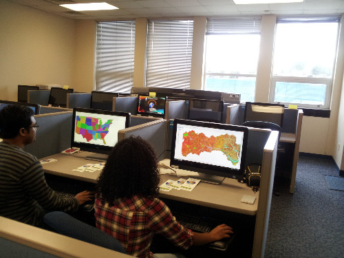
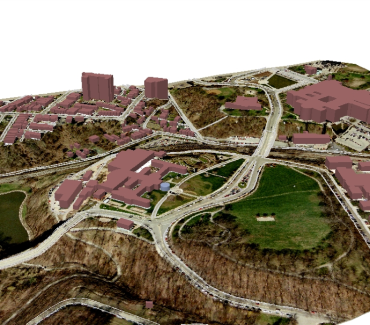
* Choose one course from this group What is GIS?GIS is a highly sought-after area for opportunities in many disciplines and areas of industry. People completing this program are highly skilled in modern technology and are equipped to analyze data, answer questions and solve problems in a cutting-edge scientific environment. GIS is a computer system designed to capture, store, manipulate, analyze, manage and present geographical data. Who Should ApplyThe Graduate Certificate in Applied GIS Program is expressly designed for individual applicants holding a BA, or BS in any field. The program is suited for both new science graduates and aspiring professionals employed in private or public sectors. Some of the professionals who may find this program beneficial are:
How to Apply?1. Assemble the following Application materials:
2. Complete the Application form for admission to Graduate School When to Apply?Application for admission to the program via graduate school opens three times a year. The application deadlines for the Fall and Spring semester admissions are August 15 and January 15 of each year. A Pathway to a Master’s DegreeGraduate certificate programs may also be used as a pathway to the Professional Science Master’s (PSM) graduate degree program and credit earned in the certificate can be counted toward the master’s degree. A student needs to earn a B or better in each certificate course to continue on for their master’s degree without needing to submit GRE scores. Please keep in mind: starting with a certificate does not waive any prerequisite requirements. Any questions or concerns about our graduate certificates please contact Dr. Solomon Haile. Choose Your Path and Apply Today! Explore TSU for yourselfapply for graduate admission | request info | visit campus | life in Nashville
|
|